Paris. A maze of picture rails, surrounded by dreamlike projections, lulled by the blowing of the wind and the sound of the waves. It is in an enveloping scenography, imagined by Marion Golmard, that the new exhibition of the Bibliothèque nationale de France (BnF) unfolds. The effect produced: a sensation of travel, of a moving landscape which resonates perfectly with the links between cartography and imagination explored here. Treasure Island by Stevenson, Atlantis or Eldorado are, unsurprisingly, there. But the exhibition goes much further than this legendary known world, showing to what extent the imagination is far from being confined to the universes of fantasy and other adventure stories. “Maps are never pure descriptive instruments of the world. Even the most scientific map is never empty of imagination », argues Cristina Ion, commissioner alongside Julie Garel-Grislin, both from the Maps and Plans department of the BnF. And it is by drawing on the rich collections of the department, to which a good number of loans are added, that cartography is understood in all its diversity of mediums: parchments, atlases, portolans, but also drawings, lithographs, video games…
Lopo Homem, Nautical Atlas of the Worldsaid Atlas Millersheet 4: Gulf of Siam, BnF, Maps and plans.
© BnF
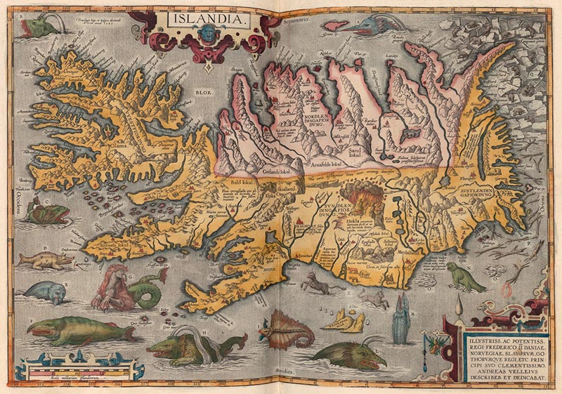
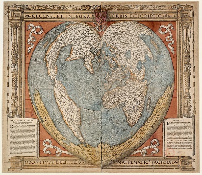
The exhibition is just as exhaustive in its treatment of the theme. From unexplored worlds to unfindable places, through legendary universes, metaphorical maps, and their resonances in contemporary creation: the subject is dense, but skillfully structured. Above all, the route manages to remain accessible, where the cartography can easily seem impenetrable to the non-specialist. “We wanted to make these masterpieces of cartography available to the widest public, to make them accessible, so that everyone can reclaim them,” insists Julie Garel-Grislin. The approach works thanks to discreet mediation processes which accompany the reading of certain works. On the cartels, small drawings and diagrams guide the visitor’s eye towards the fabulous creatures or key details scattered throughout the cards, which are very difficult to distinguish immediately.
An itinerary of rare works
In front of Jean Mansel’s world map, illuminated in the 15th century, attention is drawn to the expression ” Hic sunt dragones » (“Here are the dragons”) placed under a winged monster, which reflects the anxiety that the unknown seas inspire at the time. Faced with the so-called “Christopher Columbus” map (1492), one of the jewels of the department, we understand, helped by an explanatory sketch, that two representations coexist: a nautical map of the Mediterranean and a world map surrounded by the seven celestial spheres. Further on, it is an exceptional loan from the Vatican Apostolic Library that stands out: a manuscript written by the priest Opicino de Canistris from 1336, where his hallucinatory delusions take shape through anthropomorphic maps inspired by portulans. From one era to another, from one world to another, what is ultimately questioned is the power of maps to shape reality.
Similar Posts

Artesantander 2025: New voices for a classic
Santander, There are less than two months left to reach its 33rd edition Artesantander, the second longest contemporary art fair…
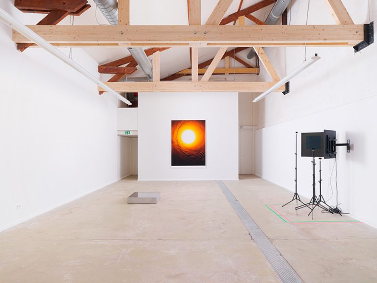
To Kassen, the happy anomalies
Madrid, Christian Bretton-Meyer, Morten Steen Hebsgaard, Søren Petersen and Tommy Petersen met more than two decades ago, at the Royal…
Sempere early, Sempere graphic
Alicante, Last year we commemorated the centenary of the birth in Onil (Alicante) of Eusebio Sempere, one of the fundamental…
The CPIF challenges our perceptions
Pontault-Combault (Seine-et-Marne). The title “Liquid Transparencies”, given to the exhibition, does not necessarily go without saying. However, its words and…
One century, one commitment, two collections
Valencia, If we think about the artistic collection of the Bancaja Foundation, we will also do so very soon in…

Maruja Mallo, the imaginary of 27
Madrid, This year marks thirty since Maruja Mallo died in Madrid, the artist who from the Student Residence participated in…